Step 01
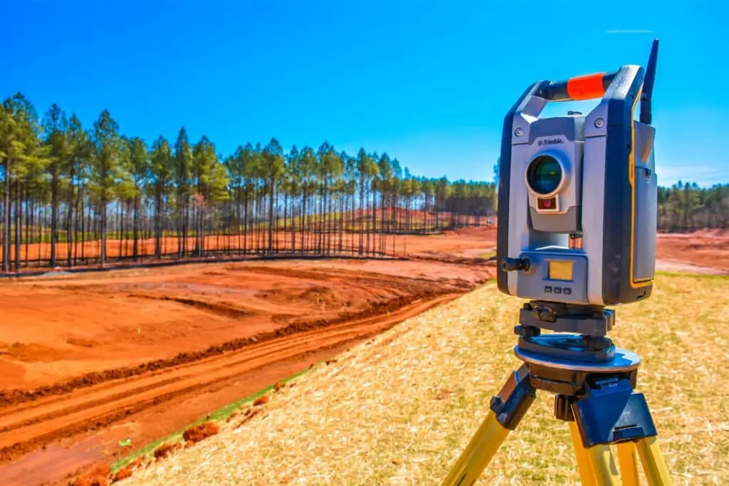
Plan & Mobilize
Desk study, survey design and equipment selection.
Step 02
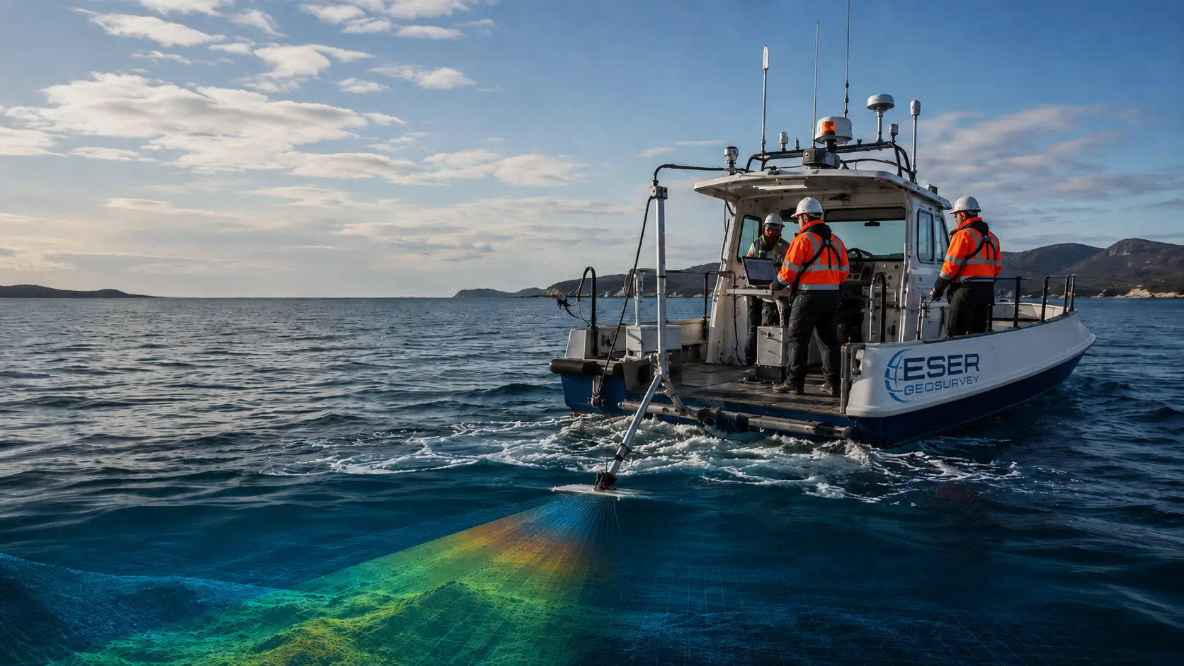
Acquire Data
Geophysical data acquisition along planned lines.
Step 03
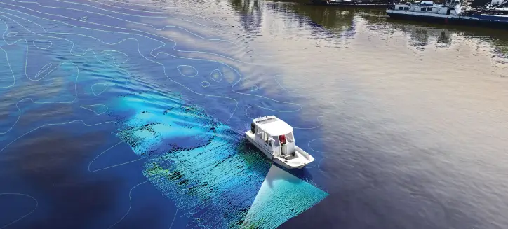
Process QA/QC
Data interpretation and integration of all datasets.
Step 04
Report & Deliver
Geophysical report, maps and hazard charts.