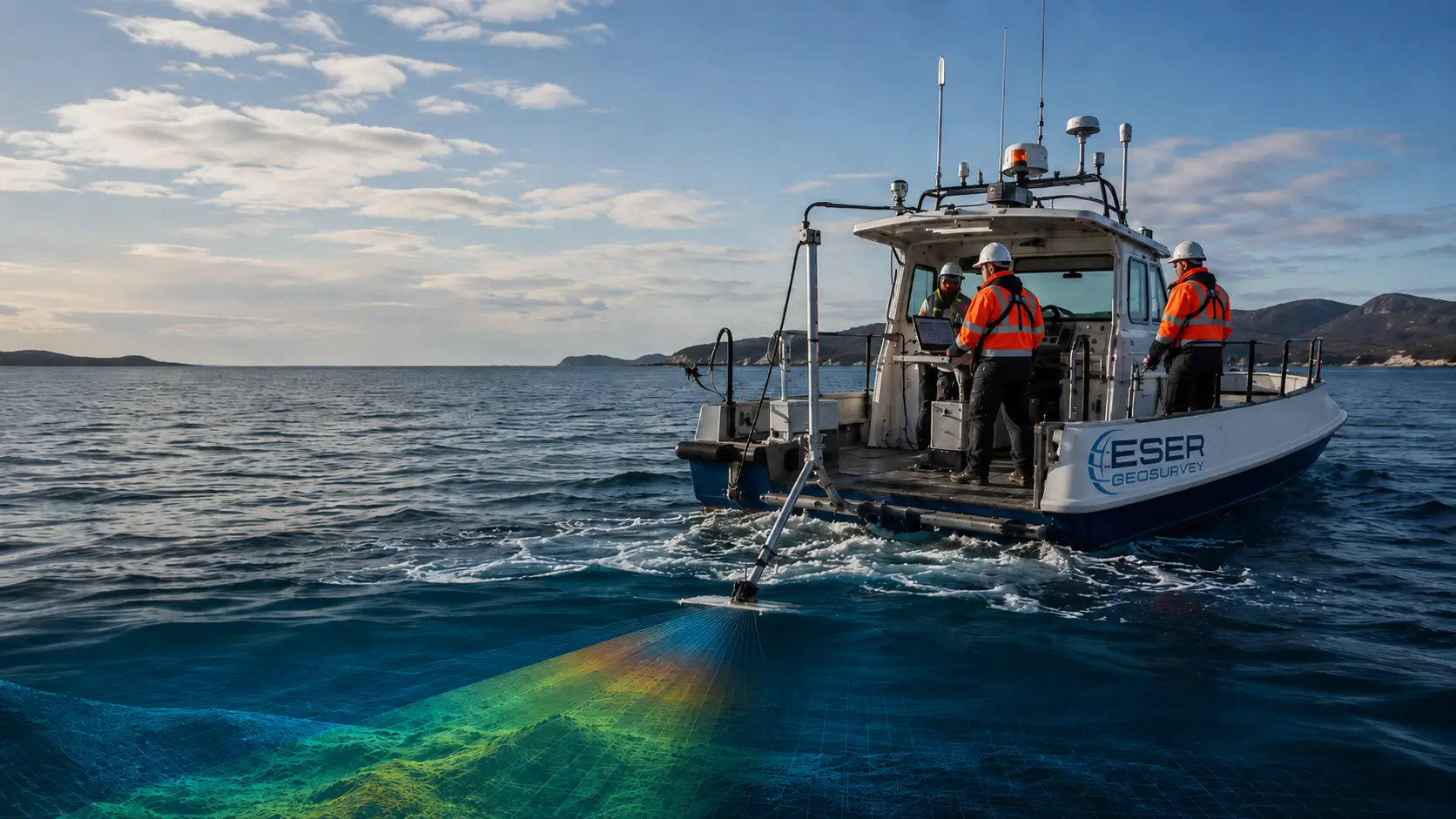
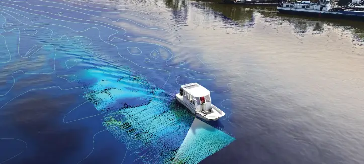
Mapping the depth and shape of the seabed for safe, efficient marine and coastal projects.
OVERVIEW
About this service
Hydrographic survey measures and maps the depth and morphology of the seabed, rivers and coastal waters. The data supports safe navigation, port and harbour development, dredging and offshore infrastructure. [Edit with company-specific description.]